

Table Rock Lake is a U.S. Army Corps of Engineers reservoir on the White River in southwestern Missouri, extending into Arkansas; Table Rock Dam and the Dewey Short Visitor Center sit southwest of Branson. You can pair a dam overlook and visitor-center stop with time at a public lake access area, checking seasonal hours and fees before setting out.
- Location: Table Rock Dam is about eight miles southwest of Branson.
- Visitor center: Dewey Short Visitor Center is at the south end of the dam.
- Typical schedule: The visitor center opens on a seasonal pattern from March through November.
- Developed-area fee: $5 per car or $2 per person entering on foot; federal recreation passes are accepted.
Where are Table Rock Lake and Table Rock Dam?
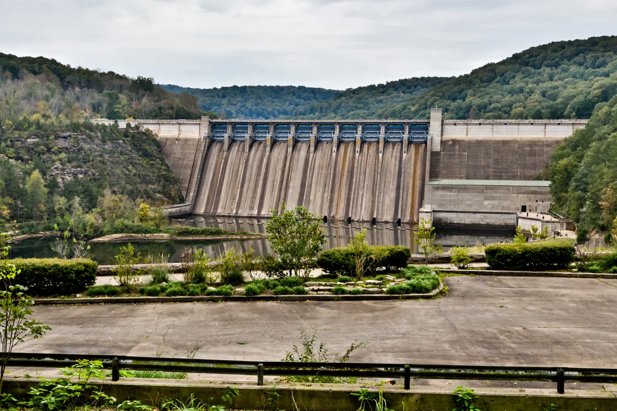
Table Rock Lake is a long reservoir on the White River, and its dam is southwest of Branson. The U.S. Army Corps of Engineers says the dam was authorized in 1941 and the lake formed in 1958. The lake extends 79 miles upstream and reaches into Missouri and Arkansas.
For a first stop, head to Dewey Short Visitor Center, located at the south end of Table Rock Dam. The center is 6 miles west of U.S. Highway 65 on Missouri State Highway 165. The Table Rock Project Office is at 4600 State Highway 165 in Branson.
How do you get from Branson to Table Rock Dam?
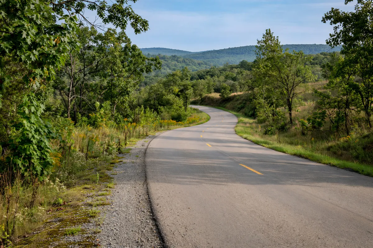
Table Rock Dam is about eight miles southwest of Branson. From Spinning Wheel Inn, the dam area makes a practical drive for a half-day outing; choose the visitor center or a lake access point as your destination, since they are separate stops around the reservoir.
The Dewey Short Visitor Center is 6 miles west of U.S. Highway 65 on Missouri State Highway 165. Use that address to plan the visitor-center stop, and confirm your chosen recreation area before leaving. The motel’s room options are in Branson, making the lake a possible outing from town.
What can you see at the dam and visitor center?
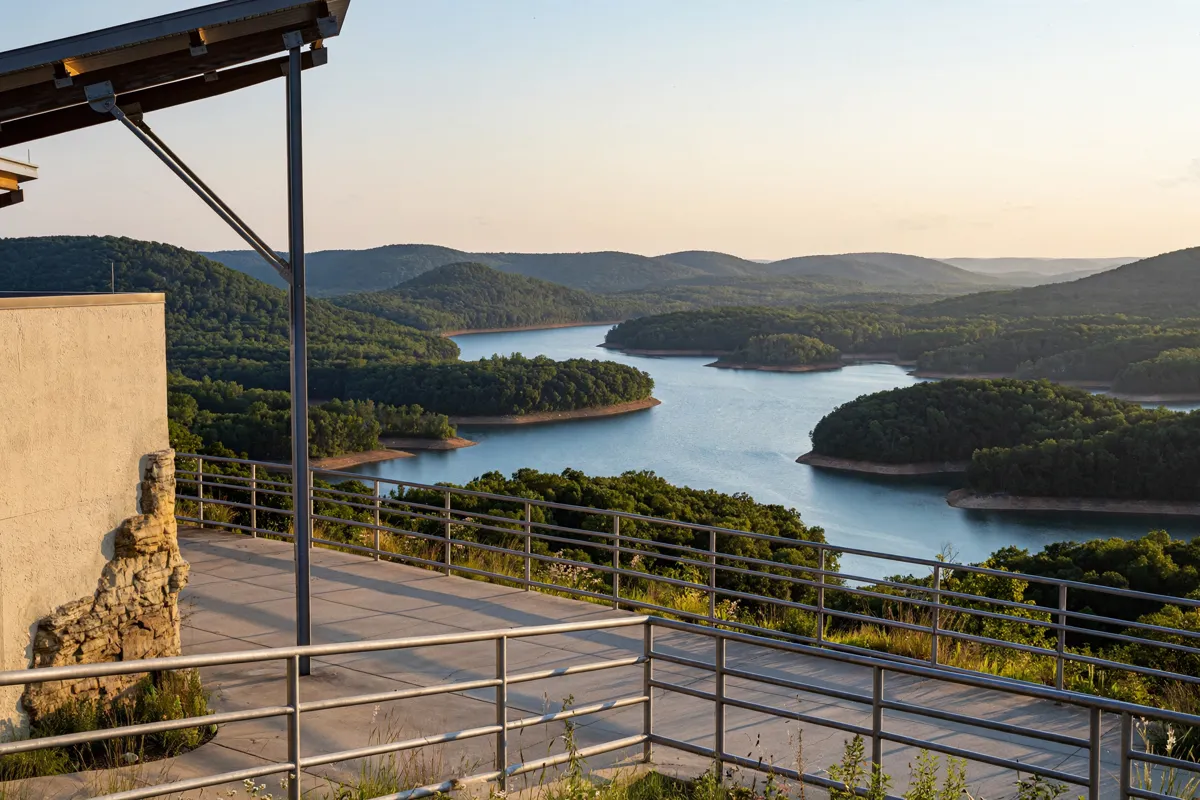
Dewey Short Visitor Center combines a scenic overlook with exhibits and practical lake access. The Corps describes White River Watershed exhibits, interactive maps and displays, power-generation demonstrations, and a 20-minute film, “Taming of the Riviera Blanche.” Outside, picnic areas, a scenic overlook and fishing access give you reasons to allow time beyond a quick stop.
A trail connects the Table Rock Project Office, Dewey Short Visitor Center and Table Rock State Park Marina. It is open to foot traffic, wheelchairs and bicycles, with restrooms and drinking fountains along the route.
The Project Office and visitor center have separate phone numbers: (417) 213-4810 for the office and (417) 213-4812 for the visitor center. Color lake maps are available at the Project Office or at Dewey Short when it is open.
Where can you access Table Rock Lake?
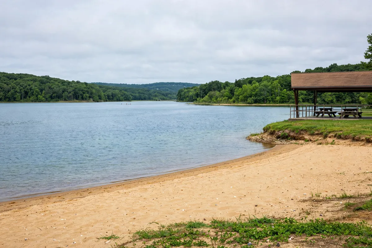
Table Rock Lake access points include public recreation areas around the shoreline, so pick one based on the activity you have in mind. Locations include Moonshine Beach, Aunts Creek, Baxter, Beaver, Big Bay, Big Indian Access, Big M, Campbell Point, Cape Fair, Coombs Ferry, Cow Creek, Cricket Creek and Eagle Rock.
Public boat ramps and marinas serve boaters, while developed recreation areas provide other ways to spend time by the water. The lake has 14–15 marinas and 24–32 public boat ramps.
Lake conditions can change with water levels and wind. Consult the Corps’ real-time lake data for current elevation, inflow, outflow and power-generation information, and use its current boating guidance before launching.
What should you know about fees and seasonal hours?
Developed recreation areas charge a day-use fee of $5 per car or $2 per person entering on foot. America the Beautiful federal recreation passes are accepted for free visits, and the Corps’ Annual Day Use pass costs $40.00. Registered campers and marina customers staying within the marina lease area are exempt from the day-use fee.
Dewey Short Visitor Center hours follow a seasonal schedule: March through May, Tuesday to Saturday, 9:00 a.m. to 4:00 p.m.; Memorial Day Weekend through Labor Day Weekend, daily, 9:00 a.m. to 4:00 p.m.; and September through November, Tuesday to Saturday, 9:00 a.m. to 4:00 p.m.
The schedule does not specify December through February hours. The Project Office is open Monday to Friday, 9:00 a.m. to 4:00 p.m., except federal holidays.
Campsites and picnic shelters can be reserved through Recreation.gov year-round. Reservations cannot be made within two days of arrival or more than 180 days ahead, and payment for the full stay is due at booking. Because hours, fees and lake conditions can change, check the official site before you go.
How can you fit the lake into a Branson itinerary?
A straightforward outing is to begin at Dewey Short Visitor Center for the dam overlook and lake context, then continue to a public access area for shoreline time or recreation. Keep the lake visit flexible around seasonal visitor-center hours and current conditions.
If you want a second destination in the Ozarks, how to plan a visit to Top of the Rock is another Branson-area option to weigh against the time available.
The lake outing can also sit alongside a nature-focused day at Dogwood Canyon Nature Park, another destination from Branson.
FAQs
Is Table Rock Lake near Branson?
Yes. Table Rock Dam is about eight miles southwest of Branson, and the reservoir extends through southwestern Missouri into Arkansas.
When is Dewey Short Visitor Center open?
Its schedule runs from March through November, with different weekday and daily patterns across the season. The schedule does not specify winter hours.
Do you have to pay to use Table Rock Lake recreation areas?
The day-use fee for developed recreation areas is $5 per car or $2 per person entering on foot. America the Beautiful federal recreation passes are accepted.
Can you walk or cycle near the dam?
Yes. A trail links the Table Rock Project Office, Dewey Short Visitor Center and Table Rock State Park Marina and is accessible to pedestrians, wheelchair users and cyclists.